The Hague by the Sea
The Hague sits directly on the North Sea, with around 11 kilometres of beach and a broad belt of protected dunes behind it. Most visitors only see Scheveningen's boulevard and pier, which are lively and commercial. A short walk in either direction brings you into quieter dunes and beaches, and the routes are easy to combine with public transport, so you can walk one way and ride back.
Getting to the Coast
The coast is well served by The Hague's trams and buses:
- Trams 1 and 9 end at Zwarte Pad, close to Scheveningen beach and the boulevard. Tram 9 runs from Den Haag Centraal.
- Tram 11 ends at Strandweg, near Scheveningen Harbour and the old village of Scheveningen-Dorp.
- Tram 12 serves Zuiderstrand, at the northern end of the Westduinpark.
- Buses 24 and 26 run to Kijkduin, at the southern end.
Plan with the HTM or 9292 journey planner; you can check in with a contactless bank card.
Route 1: Scheveningen to Kijkduin
This is the classic coastal walk, roughly 6 to 7 kilometres one way, and can be done on the beach, on dune paths, or a mix of both.
Start at the Scheveningen pier, then walk south along the boulevard past the Kurhaus hotel to Scheveningen Harbour. The harbour has fish restaurants and a working fishing and yacht port, and every June it hosts Vlaggetjesdag, which celebrates the arrival of the new season's herring.
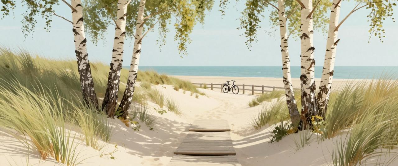
Cross the harbour area to Zuiderstrand, a wide, quieter beach. From here the Westduinpark stretches about 4.5 kilometres south to Kijkduin. Paved paths, including the LF1 North Sea cycle route, run through the dunes parallel to the sea, while walking trails wind between the dune ridges. The Dutch coastal walking path (Kustpad) also follows this stretch. Alternatively, stay on the beach the whole way, which is easiest at low tide on firm sand.
Kijkduin is a small resort with beach pavilions and shops. Take a bus back to the city centre.
Route 2: Meijendel's Dunes
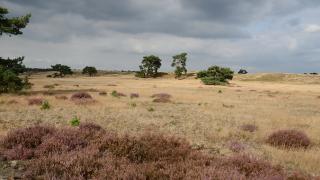
North of Scheveningen, between The Hague and Wassenaar, lies Meijendel, the largest continuous dune area in South Holland. It combines damp dune valleys, open sand, small lakes, pine woods and access to an undeveloped beach. Most of it is freely accessible on foot and by bike, with marked walking routes.
The visitor centre De Tapuit, run by the water company Dunea on the Meijendelseweg in Wassenaar, sells maps and is the starting point for several routes, including a walk of around 4 kilometres to the beach. Check its opening days before you go. The dunes here are also a water catchment area, so stick to the paths.
Shorter Walks Near the City
- Scheveningse Bosjes. Woodland between the city and Scheveningen, good for a sheltered walk on windy days.
- Oostduinen. The dunes just north of Scheveningen, accessible from the end of the boulevard.
- Harbour piers. The two harbour moles at Scheveningen offer views back to the beach and out to sea.
Families and Practical Tips
- Layers and windproof jackets. The coast is often windy and cooler than the city.
- Footwear. Sand paths are tiring; trainers are better than sandals for longer routes.
- Dogs. Many Hague beaches restrict dogs during the summer season; signs at beach entrances show the rules.
- Swimming. Swim only near lifeguard posts in summer, and watch for warning flags and currents near the harbour moles.
- Toilets and food. Beach pavilions at Scheveningen, Zuiderstrand and Kijkduin are the main stops; some close outside the summer season.
- Sunsets. The coast faces west, so evenings are the best time for light over the sea.
Before or After: Panorama Mesdag
To see what the coast looked like before modern development, visit Panorama Mesdag in the city. This enormous circular painting from 1881 shows the dunes, beach and fishing village of Scheveningen as they were in the 19th century, viewed from a platform surrounded by real sand. It is a fitting companion to a day walking the same coastline.