What the Canal Belt Is
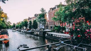
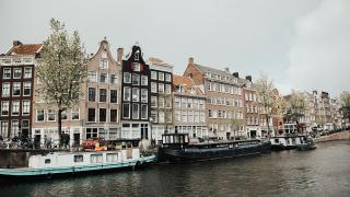
Amsterdam's Canal Belt, the Grachtengordel, is the ring of canals that curves around the medieval centre. It was laid out in the 17th century, when the city was growing fast as a trading port, and its three main canals, the Herengracht, Keizersgracht and Prinsengracht, run in concentric arcs outside the older Singel. In 2010 the 17th-century canal ring was added to UNESCO's World Heritage List.
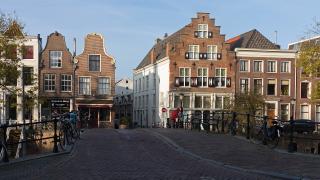
The plan was deliberate: wide canals for transport, plots for merchants' houses along the water, and smaller cross-streets and side canals linking the rings. Walking it today, you can see the hierarchy in the houses, from grand double-width mansions on the Herengracht to narrower homes and former warehouses further out.
The Route at a Glance
This walk runs roughly north to south through the western and southern canal belt. It is around 5 km and takes two to three hours at an easy pace with stops, longer if you visit museums.
- Brouwersgracht
- Prinsengracht past the Westerkerk and the Anne Frank House
- The Nine Streets (De 9 Straatjes)
- Herengracht and the Golden Bend
- Reguliersgracht and the canal-house museums
- The Amstel and the Magere Brug
The route is flat and paved, so it works with a stroller, though some side streets are brick or cobbled.
Brouwersgracht to the Westerkerk
Start at the Brouwersgracht, a short walk west of Amsterdam Centraal. It crosses the ends of the main canals and is lined with former warehouses, many converted to flats, and houseboats. Turn south along the Prinsengracht. After about ten minutes you reach the Westerkerk, a 17th-century church whose tower is one of the tallest in the city, and next door the Anne Frank House at Prinsengracht 263. Tickets for the Anne Frank House are sold online only, in timed slots, and often sell out weeks ahead.
The Nine Streets
South of the Westerkerk, the Nine Streets are the small cross-streets linking the Singel, Herengracht, Keizersgracht and Prinsengracht between the Raadhuisstraat and the Leidsegracht. They are full of independent shops, cafés and small restaurants, and make the natural place for a coffee break. Zigzag through them, crossing the canals on the bridges at the end of each street for views along the water.
Herengracht and the Golden Bend
Continue south and walk along the Herengracht, the most prestigious of the canals when it was built. Between the Leidsestraat and the Vijzelstraat lies the Golden Bend (Gouden Bocht), where the plots are wider and the houses grander, many with stone facades rather than brick. Most are offices or private homes now, but the scale is clear from the street.
Nearby on the Keizersgracht, FOAM, the photography museum, occupies canal houses at number 609, and Museum Van Loon at Keizersgracht 672 shows a furnished canal house with a formal garden and coach house.
Reguliersgracht and the Amstel
At the corner of the Herengracht and the Reguliersgracht, look down the Reguliersgracht for one of the city's best-known views: a line of arched bridges one behind the other. Museum Willet-Holthuysen at Herengracht 605 is another canal house open to visitors, with period rooms and a garden; check opening status before you go, as historic-house museums sometimes close for restoration.
Finish on the Amstel at the Magere Brug, a white wooden drawbridge that is lit up after dark. From there, it is a short walk back to Rembrandtplein, the Waterlooplein metro station or the Bloemenmarkt flower market on the Singel near the Munttoren.
Practical Tips
- Watch for bikes. Red asphalt marks cycle paths. Do not walk on them, and look both ways before stepping off the pavement.
- Keep children close. Most canal edges have no railing.
- Timing: Mornings are quietest. Late afternoon light is good for photographs along the east-west stretches.
- Rest stops: Public toilets are limited; cafés and museums are the practical option.
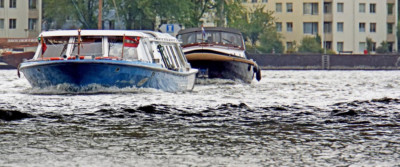
- Canal boats: A boat tour from near Centraal or the Rijksmuseum covers the same canals from water level and works well on a rainy day.