

- Where
- Steenbergen, West Brabant
- Directions
- Directions
Fort Henricus is a seventeenth-century earthwork fort about 2 kilometres north of Steenbergen, in the Graaf Hendrikpolder near the hamlet of De Heen. Stadholder Frederik Hendrik ordered it built in 1626 and 1627, on top of an earlier Spanish redoubt, and the work took less than six months. The fort is named after Hendrik III of Nassau-Breda, and it formed part of the West-Brabant Water Line, the chain of fortified towns and forts that could flood the land to stop an invading army.
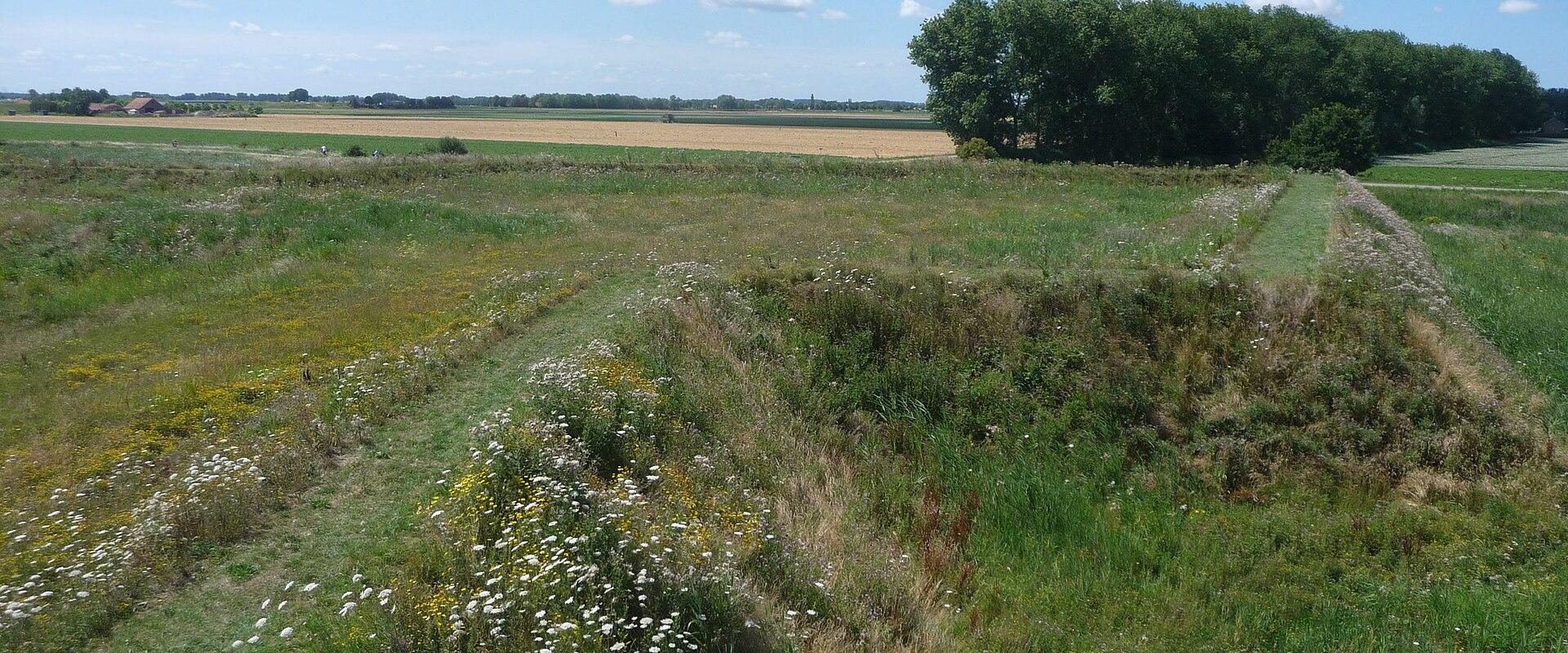
The design is a five-pointed star: five bastions surrounded by a wet moat with a counterscarp, a smaller version of the layout seen at the fortress of Bourtange in Groningen. Including its outworks, it covered about 11.5 hectares and could house some 450 soldiers. Its task was to guard Steenbergen's harbour and the sluice at the mouth of the Steenbergse Vliet, and from here the surrounding polders could be put under water.
The fort saw a long military career. The land around it was flooded six times between 1628 and 1830. French armies tried and failed to take it in 1672 and again in 1747. French troops occupied it from 1809 to 1812, the year it was dismantled, and it fell out of use in 1816. In 1827 it was sold to a private owner and turned over to farming, which flattened much of its outline. During the Second World War German forces occupied the site from 1940 to 1944.
Since 2000 the site has belonged to Natuurmonumenten, which restored the ramparts between 2008 and 2012 and filled the moat with water again. A bridge now crosses the moat, and a lookout tower designed by the Bergen op Zoom architects RO&AD lets visitors see the star shape that is hard to read at ground level, along with the flat polders all around. Wild flowers on the ramparts attract insects and birds, and the site has no buildings, just earth, grass and water.
Fort Henricus suits walkers, cyclists and anyone interested in Dutch military history and water management. A walking route starts at the small harbour of De Heen and follows the Steenbergse Vliet through the Vlietpolder, and the fort is an easy ride from the centre of Steenbergen along the polder roads. The Graaf Hendrikpolder is also where the Mosquito of Guy Gibson came down in 1944, a story told at the Gibson and Warwick monument in the town park.
Categories
More photos coming soon
Nearby Attractions
Other places to visit in Steenbergen
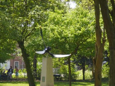
Gibson and Warwick Monument
Propeller memorial to Dambuster Guy Gibson, killed here in 1944
History & Heritage · Monuments

Sint-Gummaruskerk Steenbergen
Neo-Gothic church on 1,100 wooden pilings
Historic Churches · Monuments
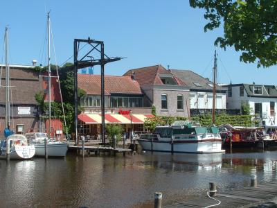
Steenbergse Haven
Harbour dating from the 14th century, now a marina by the centre
History & Heritage · Harbors
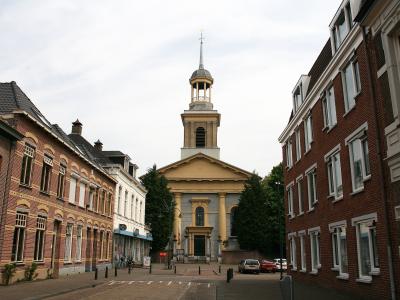
Witte Kerk
Neoclassical 1830s church on the site of the medieval Jacobuskerk
History & Heritage · Historic Churches
Questions people ask
Quick Facts
Best Time to Visit
Late June to early September offers mild weather, lively events, and ideal conditions for exploring Steenbergen’s historic sites and countryside.